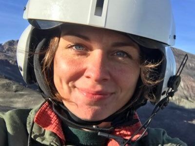
Angie is a seasoned geologist who excels in photogrammetry techniques for active volcano monitoring. As a pivotal member of the Volcano Disaster Assistance Program (VDAP) and project lead at the USGS Volcano Science Center’s Unoccupied Aircraft Systems (UAS) initiative, she deftly balances research, teaching, and crisis management. Angie utilizes everything from drones to satellites for detailed volcanic topography, and, as the primary analyst for VDAP’s IVANS, she's central in crafting key volcanic activity assessments and global collaborations.
Outside her rigorous professional endeavors, Angie has a keen passion for hiking, often exploring new trails during her weekends. Whether it's scaling challenging peaks or enjoying serene forest walks, nature rejuvenates her.